What is street map?

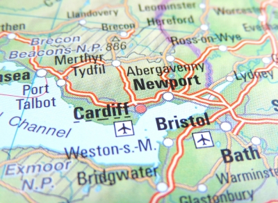
This type of map shows where the streets and roads in a town or city are. It will also show bus stops, stations, schools, hospitals, parks, and other useful and important places. The maps are of different sizes, shapes, and scales. Small maps are used to show the overview of a region’s major roads or routes while large maps give greater details and cover a large area. Highway maps give the overview of major routes within a region. Street maps mainly cover areas within a city or metropolitan area. A collection of road maps bound together in a book is referred to as road atlas. Road maps often use thin lines to indicate minor roads and thicker or bolder colors to indicate major roads.
Picture Credit : Google
Comments
No comments