There are many different kinds of maps and many different jobs for people who help create them. Let’s take a look at some of the people who help make maps.
A person called a surveyor uses special instruments to measure distances, angles, and heights to work out where a place is and how big it is. Surveyors measure and record the positions of things and the shape of the earth’s surface.
Some people photograph the land from an aeroplane. The aerial photographs are used by people called photogrammetrists to measure land areas, lakes, and other features of the earth. The photographs show wide areas of land and can give much more information than a person could gather while on the ground.
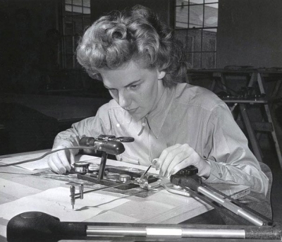
Cartographers use information from surveyors and photogrammetrists to make maps. Many cartographers use computers to draw an actual map. They add symbols and colours to help people understand all of the different kinds of information on a map.
A geographer studies how people and animals relate to the land. Some geographers study the places where people live. Others study the resources people use, such as water, land, and oil. Still others study rivers, mountains, and oceans. They put all of the information they find on maps to show other people.
Picture Credit : Google


