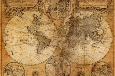
People have used maps for thousands of years. The earliest maps probably were simply scratches in the dirt. Early people made these scratches to show where to find water, food, or their caves. Later, people used nearby materials to make maps. Ancient Chinese people carved maps of their empire onto bamboo or stone or painted them on rolls of silk. Certain people of the Pacific Islands mapped out their region with palm sticks and shells. For a long time, in the Middle Ages, people thought the earth was flat. They believed you could fall off the edge of the world if you sailed too far out to sea. Explorers such as Christopher Columbus and Ferdinand Magellan changed these ideas. They collected information about countries outside Europe for European mapmakers.
When hot-air balloons were invented in the 1780’s and aeroplanes in the 1900’s, people finally got a bird’s-eye view of the world. This helped them to make better maps.
Today, we use computers and photographs taken from aeroplanes and satellites to make maps of the world. We can even make maps for areas that nobody can get to.
Picture Credit : Google


