How can you find the elephants at the zoo? How did pirates find buried treasure? How can you find the ice-cream store in a huge mall? How can you help your friends find their way to your house?
How can you find your way around a strange city?
It’s easy. Use a map! Maps are important for anyone who is travelling or exploring and for people who are just curious about the world. They help you find your way around strange places, and they are great fun to use-once you know how!
A map is a kind of picture of Earth. Maps can show the whole Earth, or just parts of it. There are maps of the world, maps of countries, maps of cities, and maps of neighbourhoods. There are also maps of the moon, maps of the land under the oceans, maps of almost anywhere you can think of. Zoos, national parks, shopping, and other centres often have maps to help people find their way around. Even though maps can show all of these things, some are still small enough to fit in your pocket or backpack! The earth has tall mountains, deep valleys, winding rivers, and vast oceans, yet maps make the earth look flat. They are drawn as if you are high up, looking straight down on the land. By looking at a map, you can see what lies beyond a forest or on the other side of a mountain. Looking at a map also tells you whether something is north, south, east, or west of other areas on the map. When you are trying to find a place, such as your friend’s house on the other side of town or toilets in the shopping centre, you have to know in which direction to walk.
There are many kinds of maps. A map that shows how rough or smooth the land is called a physical or terrain map. It uses colour to show mountains, rivers, plains, valleys, and other features.
A road map shows streets, roads, and motorways. Some road maps show only the main roads, but others show small roads, too.
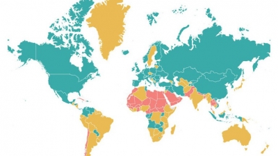
A product map shows all the things that are made and grown in an area. A population map shows how many people live in different parts of a country. A weather map shows the weather in an area. A historical map shows the world as it was long ago, or how people thought the world looked at that time.
A chart is a kind of map used by sailors and aeroplane pilots. It shows features of the oceans and skies.
Picture Credit : Google


